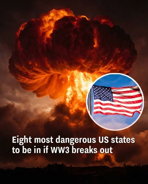
A single map can shatter your sense of safety in ways most people never imagine. Across quiet towns in America’s plains, prairies, and rolling heartlands, the surface may look calm, even idyllic. But beneath fields, fences, and seemingly endless horizons lie structures that quietly shape the most catastrophic scenarios imaginable: missile silos that anchor the nation’s nuclear strategy. For many, these are abstractions discussed only in think tanks or academic papers. For those who study the science of risk and deterrence, they are central to understanding how fragile the notion of safety truly is.
Researchers and strategists make it clear: there is no global nuclear war today, yet their simulations draw invisible lines of vulnerability across states like Montana, Wyoming, Colorado, Nebraska, North Dakota, South Dakota, Iowa, and Minnesota. These maps are not predicting conflict—they are illustrating the mechanics of deterrence and the consequences should diplomacy fail. Each silo, each hardened facility, becomes more than a point on a map; it is a marker of existential risk, a symbol of how the quietest corners of the country could, in theory, become frontlines. What appears as open farmland, small towns, and suburban streets overlays a web of unimaginable stakes, turning familiar landscapes into nodes of strategic significance.
Behind discussions framed as “preparedness” and civil defense drills lies an uncomfortable truth: some regions would bear the first and most severe blows in a nuclear exchange. Central states are highlighted repeatedly in simulation models, not because they are under immediate threat, but because of what is buried underground. The silos, often decades old yet meticulously maintained, anchor the U.S. nuclear deterrent, giving the country a leverage that comes with both power and peril. These facilities exist in areas often thought to be remote or insulated from global crises. Yet in a theoretical scenario, those same landscapes could suddenly become focal points, exposing surrounding communities to direct and indirect hazards.
The danger extends far beyond the immediate vicinity of launch sites. Fallout, both radioactive and economic, does not respect state lines or municipal borders. Wind patterns carry radioactive particles hundreds of miles, contaminating soil, water, and crops. Damaged supply chains interrupt food and fuel distribution, while overwhelmed hospitals and local governments struggle to respond to cascading emergencies. Even regions without strategic installations are vulnerable. A nuclear event anywhere in the country could trigger a domino effect, crippling infrastructure, destabilizing economies, and testing the resilience of communities far from the initial strike. No city, town, or county is completely safe.
It is here that the difference between theoretical safety and practical resilience becomes stark. Security planning is no longer about imagining an escape route to an untouched zone; it is about reinforcing the structures and systems that allow society to absorb shocks. Communities must invest in stronger infrastructure capable of withstanding both natural and manmade disasters. Emergency services and local governments need clear, realistic communication plans that can reach every resident. Health systems must have protocols ready for mass casualties or contamination events. Schools, businesses, and civic organizations all play a role in building resilience, not merely in preparing for the worst, but in ensuring that communities can endure it without total collapse.
Beyond logistics and emergency planning lies a more subtle truth: psychological preparedness. Maps of missile silos and fallout zones are not just geographic tools; they are mirrors reflecting a society’s vulnerability. Understanding that no place is entirely safe can provoke fear, but it can also inspire vigilance, cooperation, and a culture of readiness that strengthens communities before disaster strikes. Knowing the locations of these silos, the range of missile capabilities, and the likely fallout patterns does not make anyone safer by itself—but using that knowledge to plan, communicate, and fortify can make a life-or-death difference.
Ultimately, the story of America’s silos and simulated strikes is a reminder that safety is relative, not absolute. The sprawling fields of Montana, the plains of Nebraska, and the hills of Wyoming are more than scenic landscapes; they are strategic centers whose presence shapes global security, domestic policy, and local lives. What seems remote can become central in moments of crisis. Resilience, preparation, and awareness are the only true shields against a threat that may never come—but if it does, the consequences will be profound, far-reaching, and unforgettable.