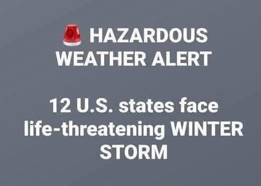
A powerful winter storm is sweeping across the Mid-Atlantic, and this isn’t a typical cold snap you can shake off with a heavier coat. Meteorologists are warning that large parts of Maryland, Virginia, West Virginia, and Pennsylvania are preparing for a dangerous ice event that could disrupt travel, cut power, and make even short trips risky. According to the National Weather Service, the storm will move slowly, bringing freezing rain and strong winds through Thursday.
Ice storms may not look dramatic from afar—no towering snowdrifts or blizzard-like chaos—but they can be incredibly hazardous. A thin layer of freezing rain can turn streets, sidewalks, and entire neighborhoods into slick hazards. The first sign is often deceptively beautiful: a glossy sheen on trees and sidewalks. The second is the sound of branches snapping under ice they weren’t meant to carry.
The most at-risk areas include north-central and western Maryland, northwestern Virginia, eastern West Virginia (including the panhandle), and much of central and western Pennsylvania. Meteorologists are tracking a steady band of moisture moving through these regions, combined with lingering cold air near the surface. That means even simple tasks—commuting, grocery shopping—could become dangerous.
Freezing rain is different from snow. Snowflakes fall and accumulate, giving warnings. Ice arrives silently: rain hits the ground and instantly turns to a slippery, unforgiving layer. Even experienced drivers with four-wheel-drive vehicles can struggle on ice-covered roads or fail to climb gentle hills.
Local emergency managers are preparing for the usual consequences: vehicles sliding off roads, jackknifed trucks, downed power lines, and tree limbs collapsing under the weight of ice. Ice-laden trees can snap without warning. Utility companies are pre-positioning crews across multiple counties to respond to outages as they occur.
Authorities aren’t trying to create panic—they want people to have time to prepare. Maryland transportation officials caution that untreated roads could become sheets of ice quickly once freezing rain begins. Virginia’s highway department urges residents to stay home unless travel is essential: the safest way to navigate ice is to avoid it entirely.
In West Virginia, where mountain roads are already challenging, sheriffs are asking residents to move vehicles off narrow streets to allow plows and salt trucks to operate efficiently. Rural communities there know how quickly ice can isolate them; even a single fallen tree on a backroad can cut off homes.
Pennsylvania may experience the heaviest ice accumulation, particularly in central counties. Meteorologists say up to half an inch of ice could form in some areas. That might not sound like much, but it can be enough to snap power poles, pull down transmission lines, and leave neighborhoods without electricity for hours—or even days—depending on access.
Airports across the region are bracing for delays. Even if runways remain clear, other cities affected by the storm could disrupt flight schedules. Airlines prefer snow and wind to ice, which requires extensive de-icing procedures and chemicals. A strong enough ice storm can ground entire fleets.
Schools are monitoring the situation closely. Many districts are moving to virtual learning or delaying openings to avoid sending buses onto dangerous roads. Administrators know the stakes: a sliding bus on icy streets is every parent’s nightmare.
Residents in the storm’s path should take basic precautions: stock up on supplies, charge devices, fill gas tanks, and bring in anything that could freeze or be damaged in high winds. Ensure medications are on hand for several days, and anyone relying on electrical medical equipment should contact their utility provider for priority service lists.
Indoors, the storm’s impact will be familiar: the soft ping of rain freezing on surfaces, distant cracks as ice-heavy branches break, occasional flickers in electricity as lines struggle. For those who have experienced previous ice storms—like those in 1994, 2007, or 2014—the sight of glossy ice brings both awe and dread. Ice can be beautiful and destructive at the same time.
Meteorologists may upgrade warnings as the storm evolves. Ice storms change as layers of warm and cold air interact. If the warm layer thickens, more freezing rain will occur; if it cools slightly, sleet may dominate. Either scenario is hazardous.
For people outside the immediate storm area, this may seem like a typical winter event. But residents in the affected states know ice storms are merciless: to roads, power grids, and anyone who underestimates them.
The storm is expected to ease by late Thursday as temperatures rise and precipitation turns to rain. However, cleanup will continue afterward: crews clearing fallen trees, repairing power lines, and families inspecting property damage. In rural areas, neighbors often help each other during these harsh winter events.
The National Weather Service’s advice is simple: prepare now, avoid travel if possible, and assume any surface could be icy. In the next 48 hours, that assumption is likely to be correct.